Author: karstenvennemann
Remote Sensing with Free and Open Source Software (FOSS): Land Cover Analysis – Live Online workshop
On April 22nd Terra GIS is offering a half-day workshop as part of the GIS in Action (virtual) Conference 2021
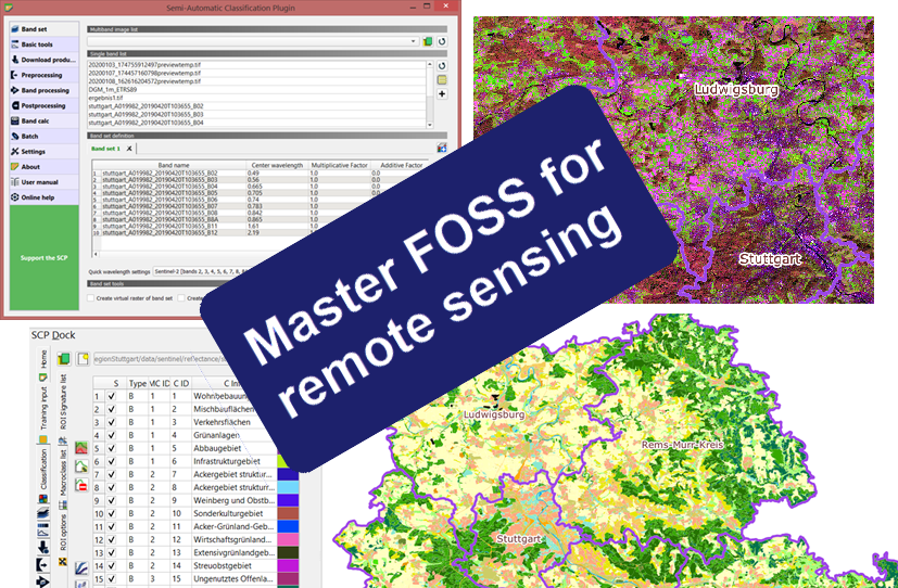
Remote Sensing with Free and Open Source Software (FOSS): Land Cover Analysis
Discover the powerful capabilities that Free and Open Source Software (FOSS)[1] has to offer for remote sensing tasks and beyond. This 4-hour workshop will demonstrate how to perform a land cover analysis using Sentinel 2 imagery using two different approaches.
Details about the workshop can be found here.
Registration page for the workshop.
Practical QGIS – Live Online Class December 7th through 9th, 2020
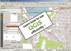
On December 7th through 9th Terra GIS is offering a 3 day online class on QGIS Desktop GIS ( taught live out of, Seattle, Washington). The class will focus on practical exercises in a workshop style setting. The class will enable ArcGIS users to easily transition to using QGIS and its comprehensive tool kit (or to use it in addition to their existing GIS software). Participants can choose to attend the full three days of the class or optionally attend only one or two of the days. Details about the class can to be found here.
Practical QGIS – Live Online Class May 26 through 28th, 2020
On May 26 through 28th Terra GIS is offering a 3 day online class on QGIS Desktop GIS ( taught live out of, Seattle, Washington). The class will focus on practical exercises in a workshop style setting. The class will enable ArcGIS users to easily transition to using QGIS and its comprehensive tool kit (or to use it in addition to their existing GIS software). Participants can choose to attend the full three days of the class or optionally attend only one or two of the days. Details about the class can to be found here.