
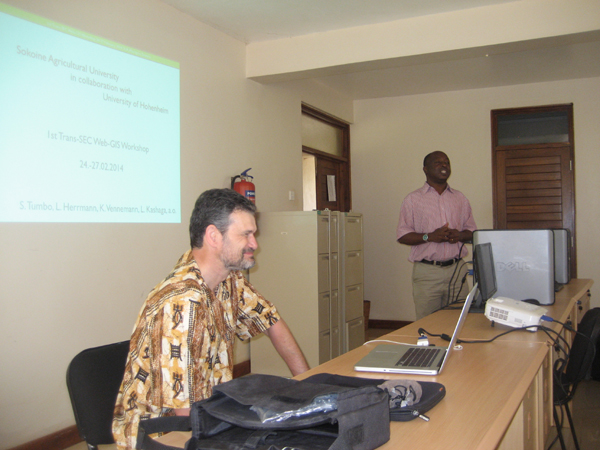
The Web GIS workshop was organized in a cooperation between Sokoine University of Agriculture (SUA), Tanzania and the University of Hohenheim, Germany. Last week my friend and fellow Soil Scientist Dr. Ludger Herrmann and me met at SUA in Morogoro, Tanzania to jointly lead this 3 day workshop for the Trans-SEC project working on food security in eastern Africa. Ludger had been my boss during my first job from 1998-2000 at the University of Hohenheim, Department of Soil Science and Land Evaluation, but we had not worked together professionally since then. 
The long name of Trans-SEC is Innovating Strategies to safeguard Food Security using Technology and Knowledge Transfer. Over the next 3 years I will work together with Ludger and our partners at SUA, a team of scientists lead by professor Siza Tumbo. My role will be to teach and support the team implementing a Web GIS platform (based on Open Source GIS software) for use in the Trans-Sec project and to publish an Atlas of Food security of Tanzania.
During this first workshop participants where introduced to MapServer, OpenLayers and PostGIS and we build some first temporary web maps together on a temporary web server. On the second last day of the workshop the server that was shipped from Hohenheim arrived in Morogoro by bus and was then installed on the last day of our stay at the computing center at SUA with help from the IT department. Ludger and I will return for two more web mapping workshops over the next two years to support the project and its mapping components.