Introduction to gvSIG CE and geo-processing with SEXTANTE
Terra GIS is offering a 4 hours introductory class/hands on workshop about gvSIG CE desktop GIS and Sextante at the WAURISA Conference in Tacoma on Monday May 7th, 2012, 1pm – 5pm.
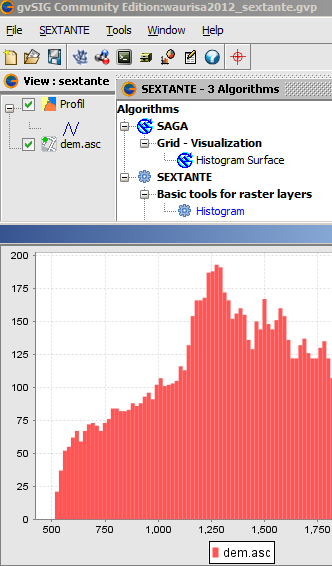
gvSIG is a powerful desktop GIS system that is known for having a user-friendly interface, being able to access the most common data formats, both vector and raster ones. It features a wide range of tools for working with geographic information (query tools, layout creation, geo-processing, networks, model builder, etc.) and provides excellent cartography and spatial analysis tools, and a wide range of spatial database connectivity. gvSIG CE is the open and international version that has many extensions such Sextante (raster and vector analysis), Raster and Remote sensing, and Network analysis natively integrated.
Preparations and downloads for workshops participants:
Prior to the workshop please download and copy to your system the gvSIG CE software and the workshop data using the links below. Note that Java is needed to run gvSIG and Sextante and is included in the gvSIG CE download for Linux and Windows, but is a separate download for some Mac operating systems .
Update Monday May 7th:
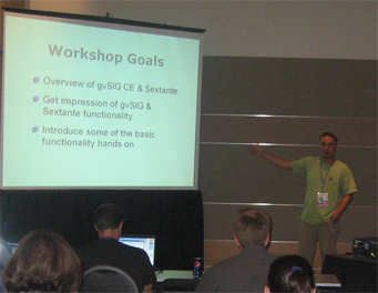
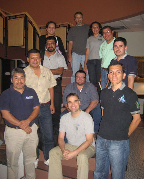
Picture from the workshop at WAURISA:
More information: Please contact us via email or call 206 905 1711 if you have additional questions
 (Munich / Immenstadt, Germany)
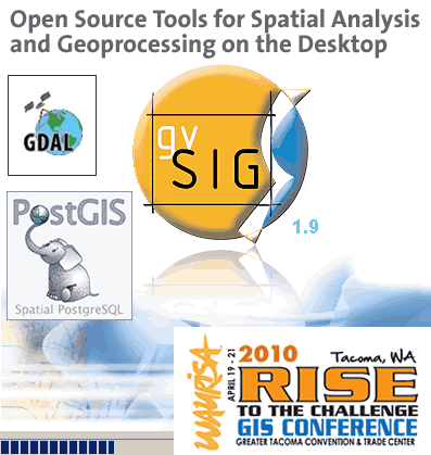 This time I will be talking about “Open Source Tools for Spatial Analysis and Geoprocessing on the Desktop“. A general introduction and overview about the tools covered in this workshop will be followed by examples illustrating the use of desktop utilities based on the OGR/GDAL2 libraries, PostGIS (“the” open source spatial database) and gvSIG (a desktop GIS) for spatial analysis and geoprocessing. During the workshop participants can use a live DVD with their own laptop to go along with some of the exercises.
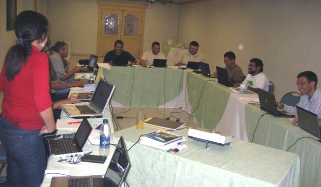