On April 22nd Terra GIS is offering a half-day workshop as part of the GIS in Action (virtual) Conference 2021
Remote Sensing with Free and Open Source Software (FOSS): Land Cover Analysis
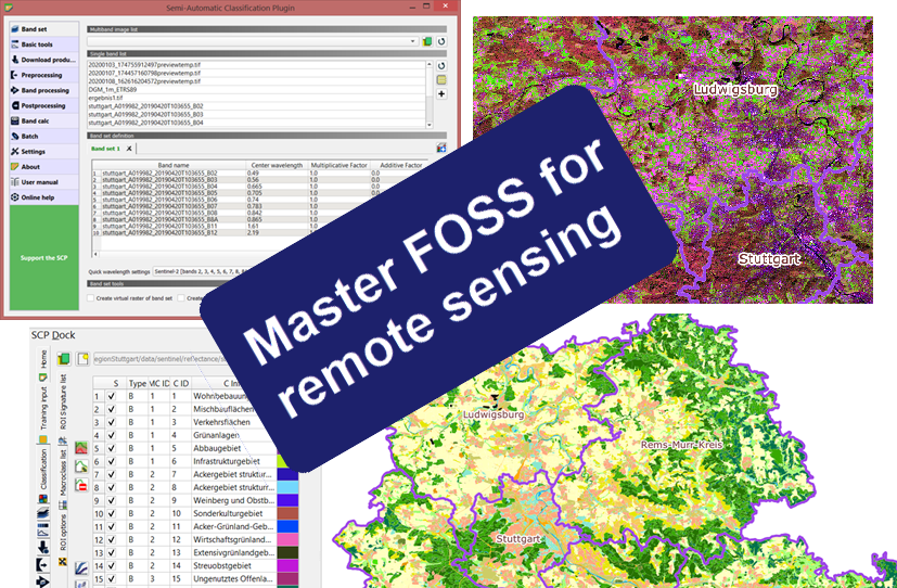
Discover the powerful capabilities that Free and Open Source Software (FOSS)[1] has to offer for remote sensing tasks and beyond. This 4-hour workshop will demonstrate how to perform a land cover analysis using Sentinel 2 imagery using two different approaches.
Details about the workshop can be found here.
Registration page for the workshop.